70Good
Baia degli dei
Ionian · Sand
 0.33m
0.33m
 19 km/h
 28°
28°
 39.84° N, 18.19° E
Exposure southwest
39.84° N, 18.19° E
Exposure southwest

Calette di Salve is located in Salento, on the Ionian coast, in the province of Lecce (Puglia, Italy), about 56 km from Lecce (56 minutes by car).
The nearest beaches are Baia degli dei and Spiaggia della Fanciulla.
GPS coordinates: 39.8438° N, 18.1948° E
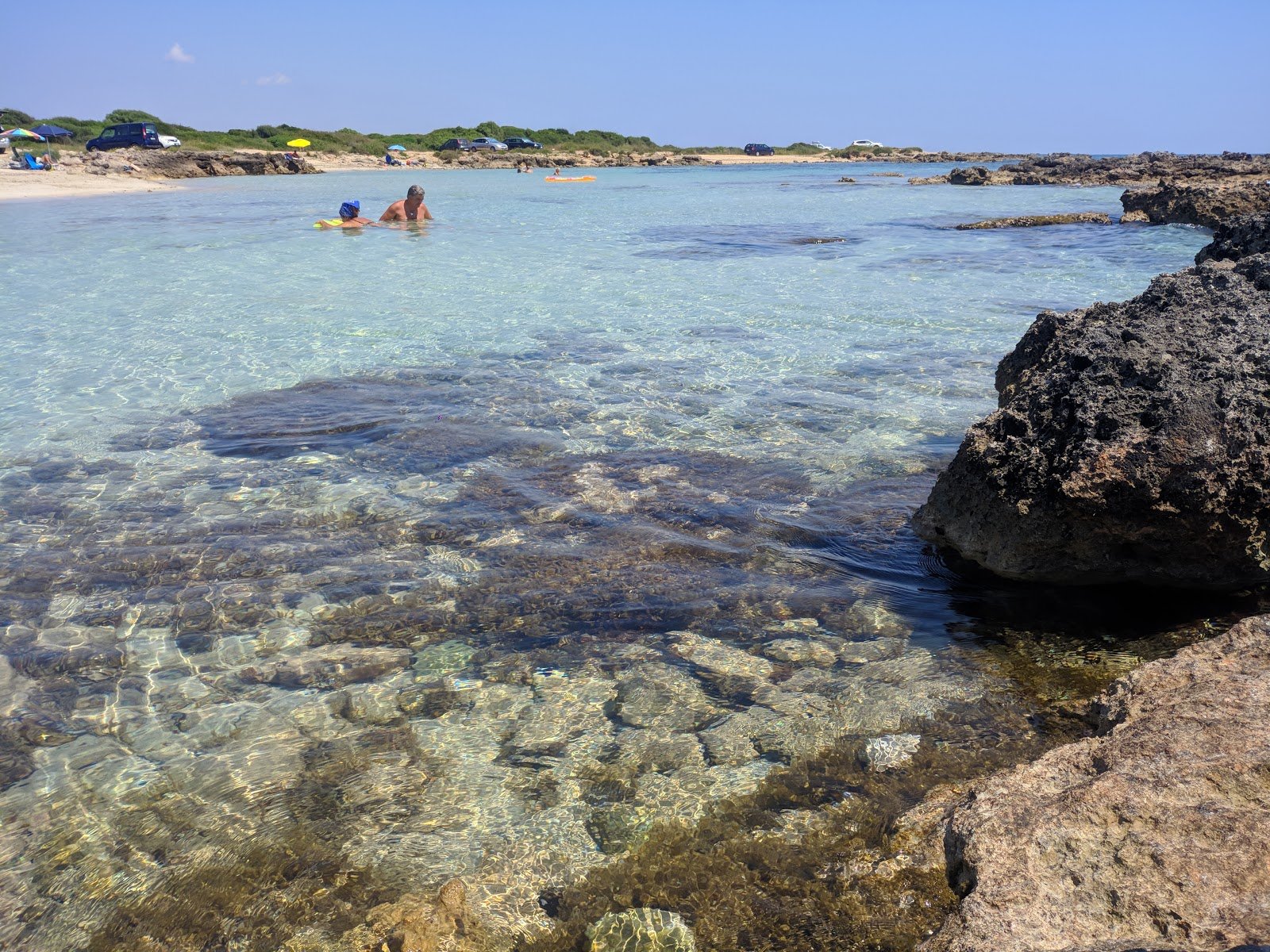
How To Get ThereSmall sandy coves alternating with low rocks and turquoise clear waters.
Today at Calette di Salve the bathing score is 70/100 (Good Conditions): waves 0.3m, wind 19 km/h, water 28°C. Enjoyable Sea Today. Score updated twice a day based on waves, wind, rain and temperature.
Calette di Salve is located in Salento, on the Ionian coast, in the province of Lecce (Puglia, Italy), about 56 km from Lecce (56 minutes by car). GPS Coordinates: 39.8438° N, 18.1948° E.
Yes, the sandy seabed and the characteristics of the ionian coast generally make it welcoming for families with children.
The bathing season in Salento runs from mid-May to mid-October. To avoid the crowds, prefer June and September. The bathing water quality score of Calette di Salve is updated twice a day (morning and afternoon) — check this page before you leave.
Calette di Salve is reachable by car. Parking available in the area. The nearest airport is Brindisi (BDS) for the northern Adriatic coast, Bari (BRI) as an alternative. By train: Lecce station, then local buses.
Calette di Salve is about 56 km from Lecce, roughly 56 minutes by car. The nearest airport is Brindisi (BDS), under an hour away.