
 40.067° N, 8.476° E


Complete guide
Is Arenas: beach guide
What the beach is like
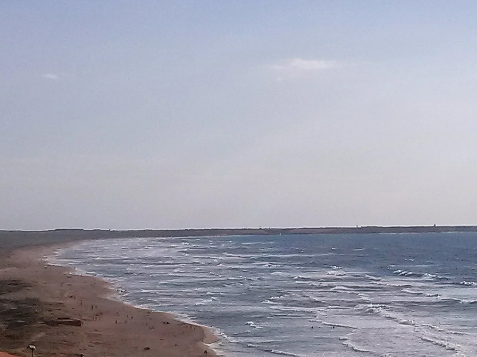
Is Arenas, also called Sas Renas, is a beach in western Sardinia in the province of Oristano. According to SardegnaTurismo, the official tourism website of the Sardinia Region, the central and larger part of the beach lies in the territory of Narbolia, the southern part belongs to San Vero Milis and the northern part to Cuglieri. In QualeSpiaggia's data the beach is assigned to the municipality of Narbolia, looks onto the Sea of Sardinia (Mar di Sardegna) and faces north-west.
According to Wikipedia the beach is about 6 km long. SardegnaTurismo, in its page on the beach, writes that it stretches for almost six kilometres, while its page on Narbolia speaks of seven kilometres. The beach is bounded by the headland of Torre del Pozzo at its northern end and by the artificial canal of Is Benas at its southern end; the canal connects the sea with the lagoon of the same name. Beyond the canal lies the rocky shore with the remains of the tower of Scab'e Sai. Looking out to sea you can see Capu Mannu, the northern tip of the Sinis peninsula and of the protected area that includes it. From the beach, which is bordered by the pine forest, you can see the Montiferru massif.
The name means "the sands", specifically sand dunes, which according to SardegnaTurismo are among the most extensive in Italy. Wikipedia notes that originally there was a wide expanse of dunes of about 700 hectares inland, the largest in Sardinia. From 1950 the area underwent extensive reforestation, mainly with maritime pines and saltbush acacias, to protect the hinterland from sand blown by strong winds. Today only a few stretches of sand dunes remain.
Getting there
Access is from the SS 292 state road, turning towards the sea near the boundary between the territories of Narbolia and Cuglieri. From the centre of Santa Caterina di Pittinuri you take the 292 towards Oristano for 3.3 km, then turn right onto an unpaved road and after 400 m you reach the beach.
The village of Narbolia lies 8.7 km as the crow flies east of the beach. The Arst line 422-422A Bonarcado-Oristano stops at Narbolia. The reference airports for reaching Narbolia are Cagliari-Elmas, Alghero-Fertilia and Olbia. Before setting off it is worth checking the route and up-to-date connections.
When to go
With the north wind (tramontana), the west wind (ponente) and the mistral (maestrale) the wind comes from the sea and the beach is exposed to waves and rough water. With the east wind (levante), the sirocco (scirocco) and the south wind (ostro) the wind blows from land and the beach is sheltered, with generally calmer water close to shore. The north-east wind (grecale) and the south-west wind (libeccio) arrive from the side. These are indications derived from the orientation of the coast, not weather forecasts.
The beach is often swept by a strong mistral and is therefore visited all year round by windsurfers. In such conditions SardegnaTurismo advises against going into the water. The climate is dry thermo-Mediterranean, with winter temperatures that rarely fall below 12 °C and summer temperatures that only occasionally exceed 33 °C. The regional circular for the 2026 bathing season sets the start of the season in Sardinia on 1 May and the end on 30 September of each year.
Seabed and sea
In the 2025 season the European Environment Agency (EEA) rated the bathing water quality of this stretch as excellent. The beach has yellowish-red sand with golden glints, mixed with pebbles and shells along the shoreline. In some stretches there are very white "rice grains" that slip into clear water.
In the autumn of 2009 Is Arenas was in the spotlight because of a controversial offshore wind farm planned in the waters in front of the beach. The project was strongly opposed by the local authorities, the Region, several members of parliament, the Ministry of the Environment and local environmental organisations. The latter argued that electric cables laid on the seabed would have damaged the meadow of posidonia, marine plants considered a protected species. Before going into the water it is worth assessing sea conditions.
Facilities and free beach
The beach is accessible to people with disabilities, has a large car park and is suitable for campervans. In the area there are campsites, restaurants and bars. The campsites include Is Arenas Camping Village, in the Is Arenas pine forest, and Nurapolis, in the locality of Is Arenas, both on the SS 292. In the green area of pines, acacias, mastic trees, junipers, orchids, palms and meadows there is a golf course with 18 holes set among dunes and pine forest. It is a good idea to bring water and sun protection.
Rules and protected areas
In 1995 the site was proposed as a Site of Community Importance, with code ITB032228, over an area of about 1,280 hectares. The regional 2026 circular on bathing asks municipalities to display, at easily accessible points and on dedicated signs, information such as the length of the bathing season, the quality classification and any temporary bathing bans.
Nearby
The Spiaggia di S'Archittu lies 2.9 km as the crow flies to the north-east. In the hamlet of S'Archittu, on the coast of Cuglieri, a very white cliff encloses a small beach, and an arch opens in it, created by weathering of the limestone rocks. The arch, about 15 metres high, hosted the high diving world championship in 2001.
Santa Caterina di Pittinuri lies 4.4 km as the crow flies to the north. It is a hamlet of Cuglieri, and an inlet of limestone rocks shelters a beach of golden, reddish and black pebbles there. Here the sea is clear and shallow, suitable for small children. On the plateau of Campu 'e Corra lies the archaeological area of the ancient city of Cornus, founded by the Carthaginians at the end of the sixth century BC. Cornus was the scene of the Sardinian-Punic revolt led by Ampsicora against the Romans in 215 BC.
Narbolia has basalt houses with murals depicting scenes from its old pastoral and farming tradition. Towards the Sinis peninsula lie the beaches of Mari Ermi, Maimoni and Is Arutas, in the territory of Cabras. Cabras lies 16 km as the crow flies to the south and Oristano 20.5 km to the south-east.
Sources
- Wikipedia (it) — Is Arenas
- Is Arenas | SardegnaTurismo - Sito ufficiale del turismo della Regione Sardegna
- QualeSpiaggia — open data spiagge (CC BY 4.0)
- Narbolia | SardegnaTurismo - Sito ufficiale del turismo della Regione Sardegna
- OpenStreetMap
- Wikivoyage (it) — Narbolia
- autoritadibacino.regione.sardegna.it — Circolare-della-Balneazione-2026_Rep.-2-prot.-4555-del-23.04.2026.pdf
- EEA — Bathing water quality 2025 (IT020095031002)
- S'Archittu | SardegnaTurismo - Sito ufficiale del turismo della Regione Sardegna
- Santa Caterina di Pittinuri | SardegnaTurismo - Sito ufficiale del turismo della Regione Sardegna