
 40.432° N, 9.778° E


Complete guide
Cala Liberotto: beach guide
What the beach is like
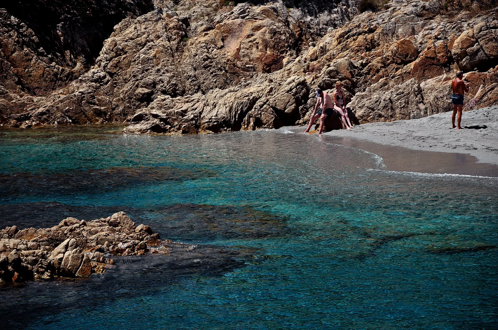
Cala Liberotto is a hamlet (frazione) of the municipality of Orosei, in the province of Nuoro, in Sardinia. The beach faces the Tyrrhenian Sea, in the Gulf of Orosei, in the middle of Sardinia's east coast. The hamlet of Cala Liberotto is a seaside resort marked by an alternation of beaches and rocky coast. The beach of Cala Liberotto is a bay embraced by pale rocks. Behind it lies the Sos Alinos pond, lined with reeds and agaves, where waterbirds nest. In the surrounding vegetation grow prickly pears, dwarf palms and myrtle. The stretch of sand is bordered by a dense pine wood, and you walk along it for hundreds of metres before reaching the headland that separates the cove from Cala Ginepro.
Much of the hamlet is covered by a pine wood planted from the '50s onwards, but native Mediterranean scrub also survives. In 1950 land-reclamation works began in Orosei as well, funded by the Region and the Cassa del Mezzogiorno, including the planting of the coast to reduce sand drift and protect the farmland closest to the sea. As along the rest of the Orosei coast, the pine woods of Cala Liberotto are of non-native stone pine (Pinus pinea), which has created a new ecosystem and needs continuous maintenance. The area was largely made up of municipal land, progressively sold to private owners during the twentieth century, and from the fifties onwards it developed mainly as a tourist resort.
Getting there
From the centre of Orosei it is about 12 km according to Wikipedia, 11 km according to Wikivoyage and about 14 km according to SardegnaTurismo. As the crow flies, Orosei lies 9.1 km to the south-west. The hamlet of Sos Alinos is about 2 km away and the two settlements are not clearly separated.
Take the SS 125 Orientale Sarda on the stretch from Orosei to Siniscola and, at the entrance to Sos Alinos, turn right for Cala Liberotto. Those arriving from Olbia, via Siniscola, turn left at Sos Alinos instead. The ARST 514 Olbia-Nuoro bus line takes you to Sos Alinos, from where you continue on foot. In summer Olbia-Costa Smeralda airport is connected with Orosei by Deplano buses. In more detail, the road route starts from Orosei along the Strada Statale 125 and continues via viale Cala Ginepro, via delle Mimose and viale Sa Prama to viale Lungo Mare. SardegnaTurismo, the official tourism website of the Regione Sardegna, states that access is free.
When to go
The beach faces south-east. With the levante (east wind), the scirocco (south-east wind) and the ostro (south wind) the wind blows in from the sea and the beach is exposed to waves and rough water. With the tramontana (north wind), the ponente (west wind) and the maestrale (north-west wind) the wind blows from the land: the beach is sheltered and the sea close to shore tends to be calmer. The grecale (north-east wind) and the libeccio (south-west wind) hit it from the side. This is an indication derived from the orientation, not a forecast.
The beach is often windswept: in summer it draws spearfishers, in winter surfers. The Cala Liberotto area is served by some shops and businesses mostly only in season, from April to October.
Seabed and sea
The beach is sandy: the bottom is golden sand, coarse-grained. Not far from the shore three large rocks emerge, which can be reached thanks to the shallow seabed. In the 2025 season the European Environment Agency (EEA) rated the bathing water quality as excellent.
Facilities and free beach
The beach is accessible to people with disabilities and has parking, beach equipment rental and refreshment points. Around it there are restaurants, hotels and campsites. The beaches of the area are generally freely accessible, but some host private concessions of the accommodation businesses and others small beach establishments. The resort consists of private holiday homes, campsites, residences, hotels and B&Bs. Some businesses offer windsurfing, quad biking, horse riding and boat excursions. In the middle of the day it is a good idea to bring a beach umbrella or look for shade.
Nearby
The Spiaggia Marzellinu and the Spiaggia Porto Corallo lie 0.2 km away as the crow flies. The Spiaggia Sas Linnas Siccas is 0.7 km to the south-west. Towards the north-east you find the Spiaggia Sa Mattanosa at 1.1 km, the Spiaggia Cala Ginepro at 1.6 km and the Spiaggia Sa Curcurica at 2.4 km. Following the paths you can reach the small beaches of Sas Linnas Siccas and Sa Curcurica.
Cala Ginepro is made of sand dunes dotted with Mediterranean scrub. Mattanosa has white and pinkish sand, fringed by Mediterranean scrub, with a gently sloping seabed. On the border with the territory of Siniscola lies the protected oasis of Bidderosa. The hamlet also includes Sa Curcurica, with Mediterranean scrub, beaches and a large wetland.
The municipality of Orosei as a whole has more than 25 km of coastline and gives its name to the gulf at whose centre it lies. Other destinations within reach nearby also include the beach of Berchida and Capo Comino, in the municipality of Siniscola.