
 45.504° N, 12.647° E


Complete guide
Lido di Jesolo: beach guide
What the beach is like
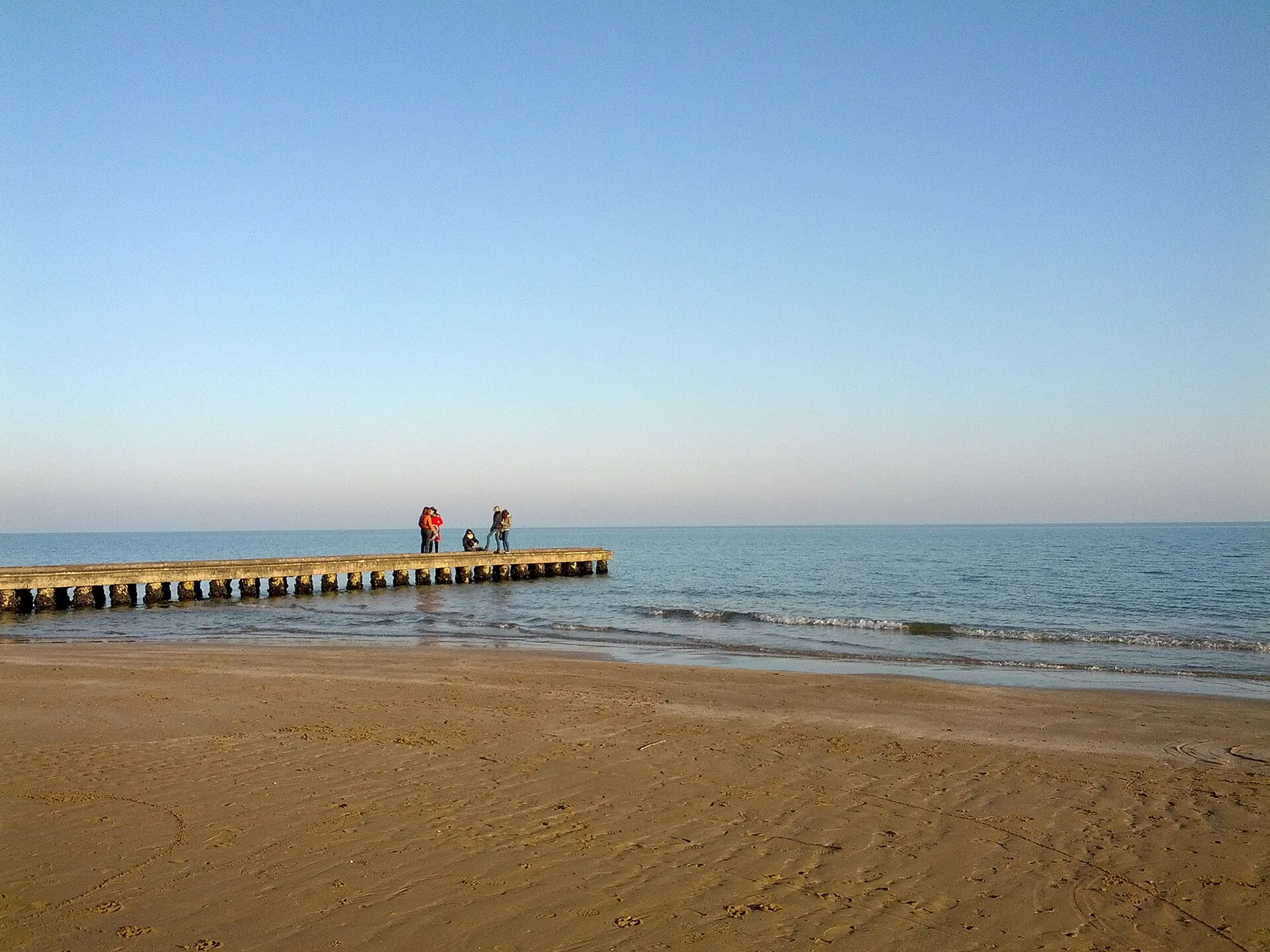
Lido di Jesolo beach lies in the hamlet of the same name in the municipality of Jesolo, in the Metropolitan City of Venice, Veneto. It is washed by the Adriatic Sea. Italian Wikipedia lists Lido di Jesolo as the second beach in Italy by number of visitors, about 1.3 million, and the third by tourist overnight stays, 5.65 million. English Wikipedia, which attributes the same figures to the municipality of Jesolo, dates the 5.65 million overnight stays to 2025. The Lido lies on a kind of island bounded by the Piave river, by the Sile in the stretch known as Piave vecchio and by the artificial Cavetta canal. The shoreline runs for about 13 kilometres between the mouths of the two rivers.
The coastal strip is low and sandy, with a beach between 30 and 100 metres wide. The Lido area is organised around a long series of squares, including piazza Drago, piazza Mazzini and piazza Milano. The reference point of the beach is 1.1 km as the crow flies east of the built-up centre of Lido di Jesolo.
Getting there
Jesolo town is 3.7 km as the crow flies north of the beach, Venice 25.5 km as the crow flies to the west. The main access roads are the regional road 43 Portegrandi - Jesolo and the Jesolana 42. For those arriving on the A4 motorway, the exits are Cessalto, San Donà/Noventa di Piave, Meolo and Quarto d'Altino. The town has no direct rail service: the reference station is San Donà di Piave - Jesolo.
The urban bus service, running all year, is operated by ATVO, with main lines 2 to the Faro and 3 to Cortellazzo. The bus station is in via Equilio, close to piazza Drago, a few minutes' walk from the beach. From Venice the ACTV water buses reach Punta Sabbioni, where ATVO buses leave for the Lido bus station. There are frequent daytime shuttles from Venice and Treviso airports.
When to go
According to QualeSpiaggia data, the beach faces south-east. With the easterly levante, the south-easterly scirocco and the southerly ostro the wind comes off the sea and the beach is exposed to waves and rough water. With the northerly tramontana, the westerly ponente and the north-westerly maestrale the wind blows from land and the beach is sheltered, with calmer water near the shore. The north-easterly grecale and the south-westerly libeccio blow across the shore instead. These indications are derived from the orientation of the coast and are not weather forecasts.
Under the 2026 beach ordinance, the bathing season runs from 1 May to 30 September. In 2026 setting up the beach facilities is compulsory from 11 May along the whole shore. Outside the period with lifeguard service, facilities may only offer sunbathing activities. In December 2025 the municipality announced that operators would keep toilets open in each minimum management unit (Unità minima di gestione) throughout the winter months. Wikivoyage recommends summer for the beach and nightlife and winter for the Christmas-season events, such as the Sand Nativity.
Seabed and sea
The beach is sandy. For the 2025 season the European Environment Agency (EEA) rates the bathing water quality of this stretch as excellent. On the 2026 Blue Flag (Bandiera Blu) beach list compiled by FEE, the Lido and Levante areas appear for Jesolo. The sources consulted do not give the water depth: check it when going into the sea.
Facilities and free beach
The town has almost 400 hotels and seven campsites. The shopping street, known according to Wikipedia as the longest pedestrian zone in Europe, has more than 1,200 shops, restaurants, bars and venues. The main section, from piazza Manzoni to the Internazionale campsite, is 6 kilometres long. In 2026 the kiosks must open every day from 23 May to 13 September, from 8.00 to 19.00, weather permitting.
On the beach in front of Jesolo hospital is Nemo Beach, a beach designed for inclusion, with more than 300 pitches, specialised staff and free shaded areas. Its facilities include raised sunbeds, wheelchair pitches and a passive hoist. The service is provided by the Azienda Unità Locale Socio Sanitaria n. 4 Veneto Orientale together with Jesolmare, and access is reserved for those who have booked a beach spot. The municipality specifies that, to be entitled to access, individuals or associations must declare that the users hold the certification under art. 3, paragraph 3 of law 104/92, for situations of recognised severity. The free beach area in the Faro zone is described as accessible to all.
Rules and protected areas
Under the 2026 beach ordinance smoking is banned on the whole sandy area of the beach during the bathing season. Smoking is allowed only in the smoking areas set up by the concession holders, with butt-collection systems, while kiosks and the seafront promenade remain outside the ban. In 2025 the smoking ban applied only along the water's edge, in the free-transit stretch of beach. In 2026 dogs may walk along the water's edge from 20.00 to 8.00 the following day. During the day the existing rules still apply, allowing them only on the seafront promenade. The municipal rules are coordinated with the bathing safety ordinance of the local maritime office (Ufficio Circondariale Marittimo).
On its western side the municipal area is part of the Venetian Lagoon and falls within the Venice and its Lagoon site (Venezia e la sua Laguna), a UNESCO World Heritage Site since 1987.
With children
Ca' Silis park, along the Sile, is a child-friendly green area with a skatepark, sports facilities and picnic areas. Parco Pegaso, about 10 hectares, is a theme park inspired by Greek mythology. Jesolo also has Aqualandia, a water and theme park covering 80,000 m², and Gommapiuma, a playground for children up to 12 years old in piazza Brescia and piazza Europa. In piazza Venezia there is the Sea Life aquarium. When the wind blows from the sea the waves reach the shore: keep an eye on children in the water.
Nearby
Jesolo's ancient name was Equilium, town of horses, linked to the horse breeding for which the ancient Veneti were famous. Until 1930 the town was called Cavazuccherina, after a canal. The medieval remains of ancient Equilio are part of the Antiche Mura archaeological site, studied by researchers from Ca' Foscari. The cathedral of Santa Maria Assunta, built in the ninth century, was the seat of the diocese until its suppression, decreed in 1466 after the death of bishop Andrea Bon.
Cortellazzo is 6.9 km as the crow flies to the north-east, Eraclea Mare 9.7 km as the crow flies in the same direction. The Jesolo - Lidi di Cortellazzo - Eraclea cycle path reaches the old mouth of the Piave, now the Laguna del Mort nature area. According to Wikivoyage, ferries leave Jesolo every day for Venice, and visitors can choose between a day in the city and a tour of the islands of Murano, Burano and Torcello. On the Sile, barge trips are organised along the course of the river. The JMuseo, a space devoted to modern and contemporary art, also houses the Civic Museum of Natural History.
Sources
- Wikipedia (it) — Lido di Jesolo
- Wikipedia (it) — Jesolo
- QualeSpiaggia — open data spiagge (CC BY 4.0)
- Wikivoyage (it) — Jesolo
- Wikipedia (en) — Jesolo
- OpenStreetMap
- Divieto di fumo, obbligo di apertura per i chioschi e regole chiare per vivere il mare con i propri animali - Comune di Jesolo
- Mare d’inverno, completata la definizione dei servizi igienici aperti in spiaggia durante l’inverno - Comune di Jesolo
- EEA — Bathing water quality 2025 (IT005027019007)
- FEE Italia — Bandiera Blu 2026, elenco spiagge
- Spiaggia di Nemo - Comune di Jesolo
- Arenile spiaggia libera Faro - Comune di Jesolo
- Firmata l’ordinanza balneare, domani il via ufficiale alla stagione - Comune di Jesolo