
 40.323° N, 14.942° E


Complete guide
Spiaggia di Tresino: beach guide
What the beach is like
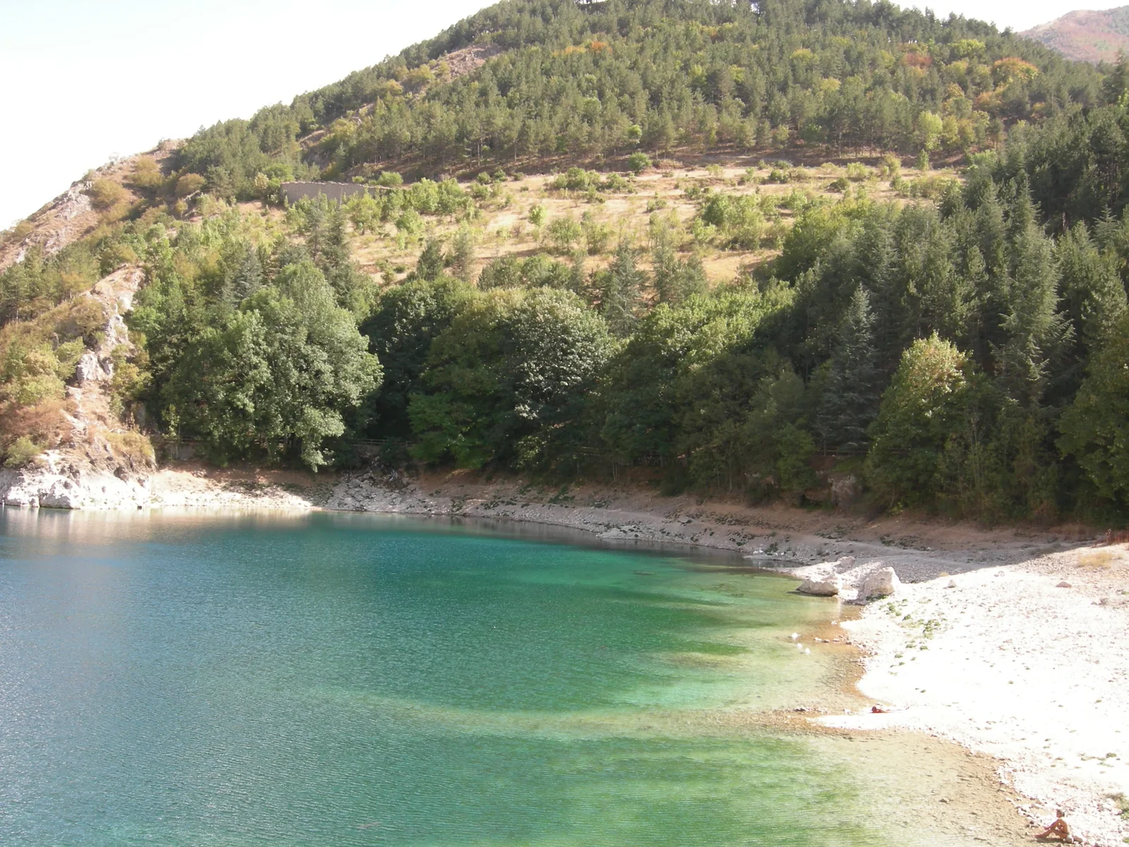
Spiaggia di Tresino is a pebble stretch of coast in the municipality of Castellabate, in the province of Salerno, on the Tyrrhenian Sea. The reference point of this guide lies 1.5 km as the crow flies south of Punta Tresino and 1.4 km west of Monte Tresino. The village of the hamlet (frazione) of Lago is 1.6 km as the crow flies south-east of the point. The beach faces west.
Santa Maria di Castellabate and San Marco overlook the gulf between Punta Licosa and Punta Tresino. The Tresino headland is part of the Santa Maria di Castellabate marine protected area, which also includes the Licosa headland and lies within the protection zones of the Cilento and Vallo di Diano National Park. For the municipality, the waters around Tresino and Punta Licosa are a natural resource of inestimable value and a source of biodiversity. In 2026 the Lago–Tresino stretch appears in the list of Blue Flag (Bandiera Blu) beaches compiled by FEE, under Castellabate.
The hamlet of Lago stretches mainly along the coast, on a plain between Monte Tresino to the north, Alano to the east and Santa Maria di Castellabate to the south. In front of the hamlet, Wikipedia describes a straight coastline lined along its whole length by a long sandy beach, which locals call «spiaggia del Lago» or «ù Sciome». It is a different stretch from the one in this guide, which is recorded as pebbles in OpenStreetMap data.
Getting there
Agropoli is 5.3 km as the crow flies north-east of the beach and Santa Maria di Castellabate 4.2 km to the south. The main nature trails of the hamlet of Lago are «Lago, Tresino, San Pietro», 9.1 km along the inland route, and «Lago, Tresino, Trentova di Agropoli», along the sea. At the foot of Monte Tresino is the Belvedere dei Trezeni, a panoramic terrace from which the whole Castellabate coastline can be seen.
The main road link of the hamlet of Lago is the former state road (ex strada statale) 267, now a regional road, and the provincial road 237 bivio Sant'Andrea–Lago also crosses the area. According to Wikipedia, buses run by the SMEC cooperative connect the hamlets of the municipality. English Wikivoyage gives the Agropoli-Castellabate railway station, from which buses leave every hour for Santa Maria. In July 2024 the municipality announced that it had identified 17 access gates to help emergency vehicles reach the beaches along the coast: in an emergency, when calling 118, it is enough to give the number of the gate shown. OpenStreetMap records no data for this beach on parking, showers, beach establishments or accessibility.
When to go
Based on the orientation of the coast, with the libeccio (south-west wind), the ponente (west wind) and the maestrale (mistral) the wind comes from the sea and the beach is exposed to waves and rough sea. With the grecale (north-east wind), the levante (east wind) and the scirocco the wind blows from land and the beach is sheltered, with calmer water close to shore. The tramontana (north wind) and the ostro (south wind) instead blow across the shoreline. This is an indication, not a forecast.
For the Lago area Wikipedia describes a Mediterranean climate, with hot summers, mild winters and many sunny days. In July and August temperatures range from 18 °C to 29 °C and summer rainfall is very low.
Seabed and sea
The beach is made of pebbles. The sources consulted do not give the water depth close to shore. In the marine protected area, which includes the Tresino headland, coralligenous formations, typical of rocky Mediterranean seabeds, are found below 20 m. They are built by calcareous and non-calcareous algae, green and red coralline, together with sponges, madrepores, gorgonians, bryozoans, bivalves and annelids. The result is a fragile rock with small channels, vacuoles and cavities, which is colonised by many plant and animal species. The municipality notes that species of great beauty can be seen even at limited depths, attracting nature tourists.
Facilities and free beach
For the hamlet of Lago, Wikipedia describes mainly beach tourism, with holiday villages and beach establishments (lidi) along almost 3 km of beach, and accommodation made up of campsites, hotels and residences. In September 2025 the municipality launched, on a trial basis, an inclusive beach equipped for people with disabilities on the stretch of shore at Piazzale dei Rocchi, in the hamlet of Lago. The project provided 5 umbrellas, 8 sun loungers, a beach wheelchair (sedia job) and a dedicated walkway, with free access for people with severe disabilities and their companions. It is worth bringing water, shade and shoes suited to pebbles.
Rules and protected areas
The Santa Maria di Castellabate marine protected area was established by the ministerial decree of 21 October 2009, which entrusted its management to the Cilento and Vallo di Diano National Park authority. The regulation on permitted activities, approved by the decree of 28 July 2009, no. 220, classifies the stretch of sea off the coast between Punta Tresino and Vallone Maroccia as zone A, a strict nature reserve. The reference point of this guide lies along this stretch of coast, between Punta Tresino and Vallone Maroccia. In zone A the regulation only allows rescue and surveillance, service activities on behalf of the managing body and authorised scientific research. Bathing is instead listed among the activities allowed in zone B, which also includes the stretch of sea surrounding zone A. In zone B navigation is allowed at no more than 5 knots within the 300-metre coastal strip and at no more than 10 knots in the strip between 300 and 600 metres.
The founding decree prohibits throughout the marine protected area the capture, collection and damaging of animals and plants, as well as the removal of archaeological finds and geological formations, except as provided for by the regulation. The implementing and organisational regulation of the marine protected area was approved by the decree of 9 April 2015. The municipality lies entirely within the Cilento, Vallo di Diano and Alburni National Park, declared a World Heritage Site by UNESCO in 1998. Rules can change: before swimming or diving it is worth checking those in force.
Nearby
Cala Blu is 1.9 km as the crow flies to the north-east and Spiaggia di Trentova 3.4 km in the same direction. The sandy beach of Lago partly covers a quarry from the sixth century BC, discovered in 2010. From here the Greek Troezenians (Trezeni) extracted the rocchi, cylindrical sandstone blocks for column shafts, used to build the temples of Paestum. The municipality also reports archaeological remains about 1 km offshore from the spiaggia del Lago, which attract many divers. The seabeds off the beaches of Pozzillo, Lago and Ogliastro are partly covered by meadows of Posidonia oceanica, which protect the coastline from erosion.
The first records of the hamlet of Lago date back to the twelfth century, when the area was largely a marsh, possibly the origin of the name. The land was reclaimed in 1138 by the Benedictines of the Abbey of Cava (badia di Cava).
Sources
- Wikipedia (it) — Lago (Castellabate)
- Wikipedia (it) — Castellabate
- Wikivoyage (en) — Castellabate
- FEE Italia — Bandiera Blu 2026, elenco spiagge
- OpenStreetMap
- QualeSpiaggia — open data spiagge (CC BY 4.0)
- Comune di Castellabate - Prima spiaggia inclusiva e attrezzata per persone con disabilità
- Comune di Castellabate
- Comune di Castellabate
- www.mase.gov.it — castellabate_dm_21-10-2009.pdf
- mase.gov.it — dm_28_07_2009_220_amp_castellabate.pdf
- www.mase.gov.it — dm_09_04_2015_amp_castellabate.pdf