
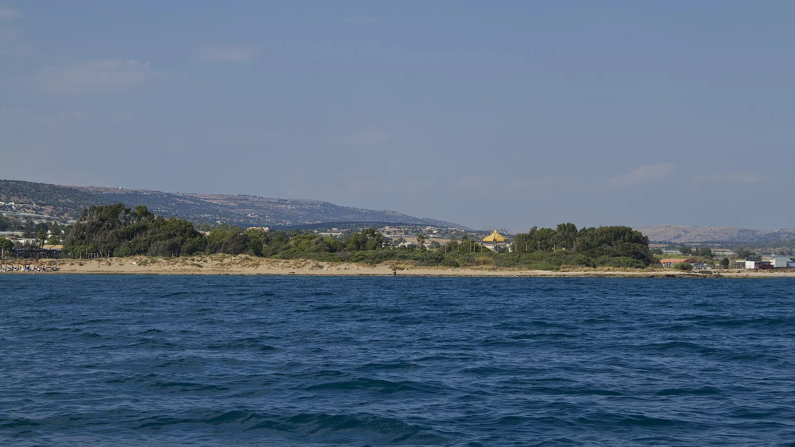
 36.782° N, 14.555° E


Complete guide
Marina di Ragusa beach: guide
What the beach is like
Marina di Ragusa beach lies in the hamlet of the same name in the municipality of Ragusa, Sicily, and is washed by the Strait of Sicily (Canale di Sicilia). The hamlet, known as Mazzarelli until 1928, is one of the main seaside resorts on the Ragusa coast. The resort is defined by a long sandy beach, which ends at the harbour on one side and just before the Irminio reserve on the other. The municipality describes its beaches as very fine golden sand. Many streams, now mostly dry, used to flow into the sea along this shore, and their beds have been covered by roads.
The village faces the sea with two promenades, the lungomare Andrea Doria and the lungomare Mediterraneo. The reference point of the beach is 0.2 km as the crow flies from the centre of Marina di Ragusa. According to the municipality, in high season the resort welcomes more than 60,000 holidaymakers. The marina was inaugurated on 10 July 2009 and has more than 800 berths.
Getting there
The hamlet is linked to the main town by provincial road 25 Ragusa-Marina di Ragusa. The centre of Ragusa is 22.3 km as the crow flies north-east of the beach. According to the municipality, Ragusa is 20 minutes away and the port of Pozzallo, which has connections to the island of Malta, half an hour. Marina di Ragusa is served by Comiso airport.
According to Wikivoyage, a regular bus service runs all year from the Ragusa bus terminal to Marina. Wikipedia states that in the village two bus lines, A and B, run along the coast from the harbour to the end of the lungomare Andrea Doria. The same article also mentions several daily buses to Ragusa and Catania. In 2025 a new ferry service to Valletta, Malta, began operating.
When to go
The municipality describes a Mediterranean climate that is ideal for more than 8 months a year. In summer bars, restaurants and hotels are busy, while in winter the village only comes to life at weekends. According to Wikipedia, on Ferragosto the church of Santa Maria di Portosalvo holds the morning game of the greasy pole at sea, u lignu 'nzivatu. In the afternoon the statue of the Madonna di Portosalvo is carried in procession on a boat, followed by other vessels, along most of the shore.
The beach faces south. With the south-easterly scirocco, the southerly ostro and the south-westerly libeccio the wind comes off the sea and the beach is exposed to waves and rough water. With the northerly tramontana, the north-easterly grecale and the north-westerly maestrale the wind blows from land and the beach is sheltered, with calmer water near the shore. The easterly levante and the westerly ponente blow across the shore instead. These indications are derived from the orientation of the coast and are not weather forecasts.
Seabed and sea
The beach is sandy. For the 2025 season the European Environment Agency (EEA) rates the bathing water quality of this stretch as excellent. In 2026 the stretch appears under the name Marina di Ragusa on the Blue Flag (Bandiera Blu) beach list compiled by FEE. The Blue Flag was awarded to Marina di Ragusa in 2009, together with Pozzallo. The Blue Flag for beaches certifies the quality of the bathing water and of the beaches. The sources consulted do not give the water depth: check it when going into the sea.
Facilities and free beach
The local economy rests mainly on beach tourism, and over the years many restaurants and hotels have opened. The municipality lists nightclubs, pubs, restaurants and shops along the seafront. Wikipedia also mentions campsites.
In July 2025 the municipality had almost finished installing boardwalks, walkways and ramps so that people with disabilities and those with wheelchairs or pushchairs can also reach the sea. The points involved include Piazzale Michele Calabrese with the ex americani beach, several stretches of the lungomare Andrea Doria, Piazza Torre, Piazza della Dogana and the lungomare Mediterraneo. In the same 2025 statement the municipality notes that at the Rotonda on the lungomare Doria there is an equipped shower with a station for people with disabilities. The same text mentions several parking spaces reserved for people with disabilities, spread across different parts of the shore.
In summer 2024 the Mare senza frontiere service, run by ASP7 with the coastal municipalities of the province, offered assistance to people with disabilities every day from 10.30 to 12.30 and from 16.30 to 18.30, until 31 August. In 2024 the Marina di Ragusa station was on the lungomare Andrea Doria, at the Rotonda. For 2025 the municipality announced the service at Piazza Torre from 1 July.
Rules and protected areas
According to a Sicilian Region (Regione Siciliana) statement of April 2022, the redevelopment of the lungomare Andrea Doria, on the stretch from piazza Duca degli Abruzzi to piazza Malta, was funded by the Region with €2.7 million. The project included a larger pedestrian area, steps down to the sea and a ramp for people with disabilities. Work was to stop in summer to avoid disruption during the bathing season and to finish in spring 2023. In a municipal statement, the mayor lists environmental education, water quality, environmental management, services and safety among the Blue Flag criteria.
With children
The Green Flag (Bandiera Verde), awarded by Italian paediatricians to child-friendly beaches, went to Marina di Ragusa in 2018 and in 2021. The boardwalks and ramps installed in 2025 are also designed for people arriving with a pushchair. When the wind blows from the sea the waves reach the shore: keep an eye on children in the water.
Nearby
The name Mazzarelli comes from the Arabic Marsa A'Rillah, meaning small landing place. At the end of the sixteenth century a defensive tower was built by the old harbour. In Piazza Torre stands the Torre Cabrera, a Spanish tower. The village began to prosper in the nineteenth century with the trade in asphalt rock (pietra pece) and carobs. In the sixties it became a holiday resort, a role it still has today.
Punta Secca is 5.5 km as the crow flies west of the beach. Santa Croce Camerina is 5.7 km as the crow flies to the north-west. Donnalucata is 7.6 km as the crow flies to the east, and Scicli 13.6 km as the crow flies in the same direction. At Caucana there is also the Kaucana archaeological park, with Greek, Roman and Byzantine remains. In Ragusa, the monuments built after the 1693 earthquake, together with those of the Val di Noto, were declared World Heritage by UNESCO on 25 June 2002.
Sources
- Wikipedia (it) — Marina di Ragusa
- Comune di Ragusa: Marina di Ragusa
- QualeSpiaggia — open data spiagge (CC BY 4.0)
- OpenStreetMap
- Wikivoyage (en) — Marina di Ragusa
- Wikipedia (en) — Marina di Ragusa
- EEA — Bathing water quality 2025 (IT019088009003)
- FEE Italia — Bandiera Blu 2026, elenco spiagge
- Comune di Ragusa: Bandiera Blu
- Un mare per tutti, ultimati gli interventi di accessibilità alle spiagge - Comune di Ragusa
- Continua con notevole successo l’iniziativa “Mare senza Frontiere” - Comune di Ragusa
- Ragusa, lavori di riqualificazione del lungomare Andrea Doria | Regione Siciliana
- Wikipedia (it) — Ragusa